# Council
Think of this CT as settings for your dashboard. Using this CT you can manage logo, colours, available data feeds, background image, terms & disclaimer and more...
Now let's go through each field and its function for this CT.
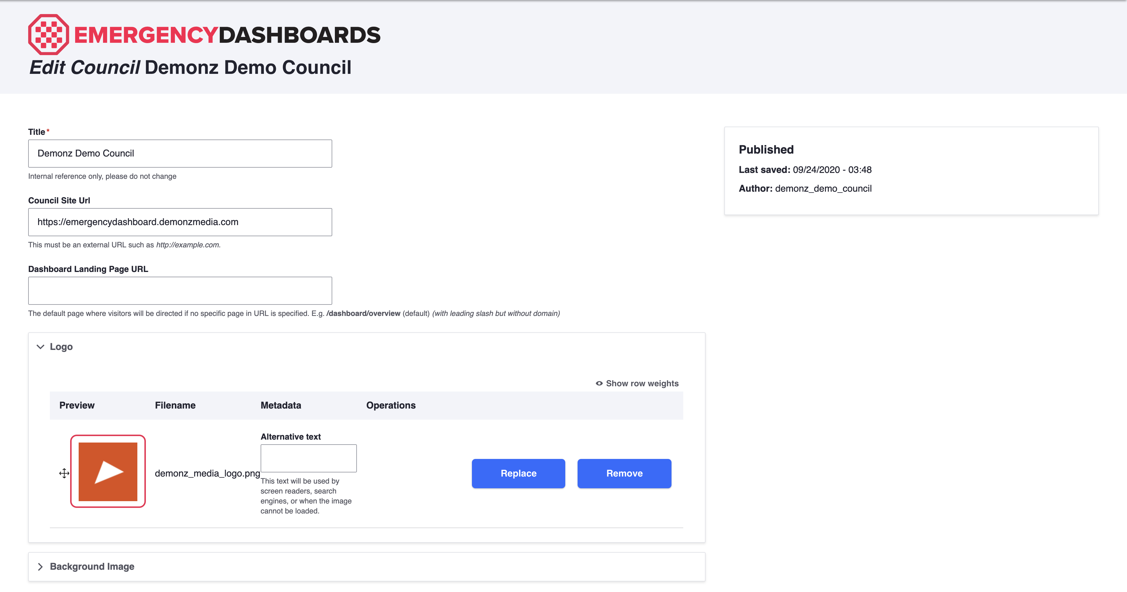
# Council Site Url
This is the URL of the website where a visitor will be directed by clicking on your logo.
# Guidelines
- Use absolute full URL (including https://)
# Dashboard Landing Page URL
The default page where visitors will be directed if no specific page in URL is specified.
E.g. /dashboard/overview (default)
# Guidelines
With leading slash but without domain
# Logo
Use this field to change your logo that is displayed on the dashboard.
See the below example of how the logo will appear on the dashboard.
# Guidelines
Must be a
.pngfile with transparent background for the best lookThe following aspect ratios are recommended: 1:1, 4:3 and 16:9
Make sure that the size of the image is not too small or too big, it is recommended that the width does not exceed 400px
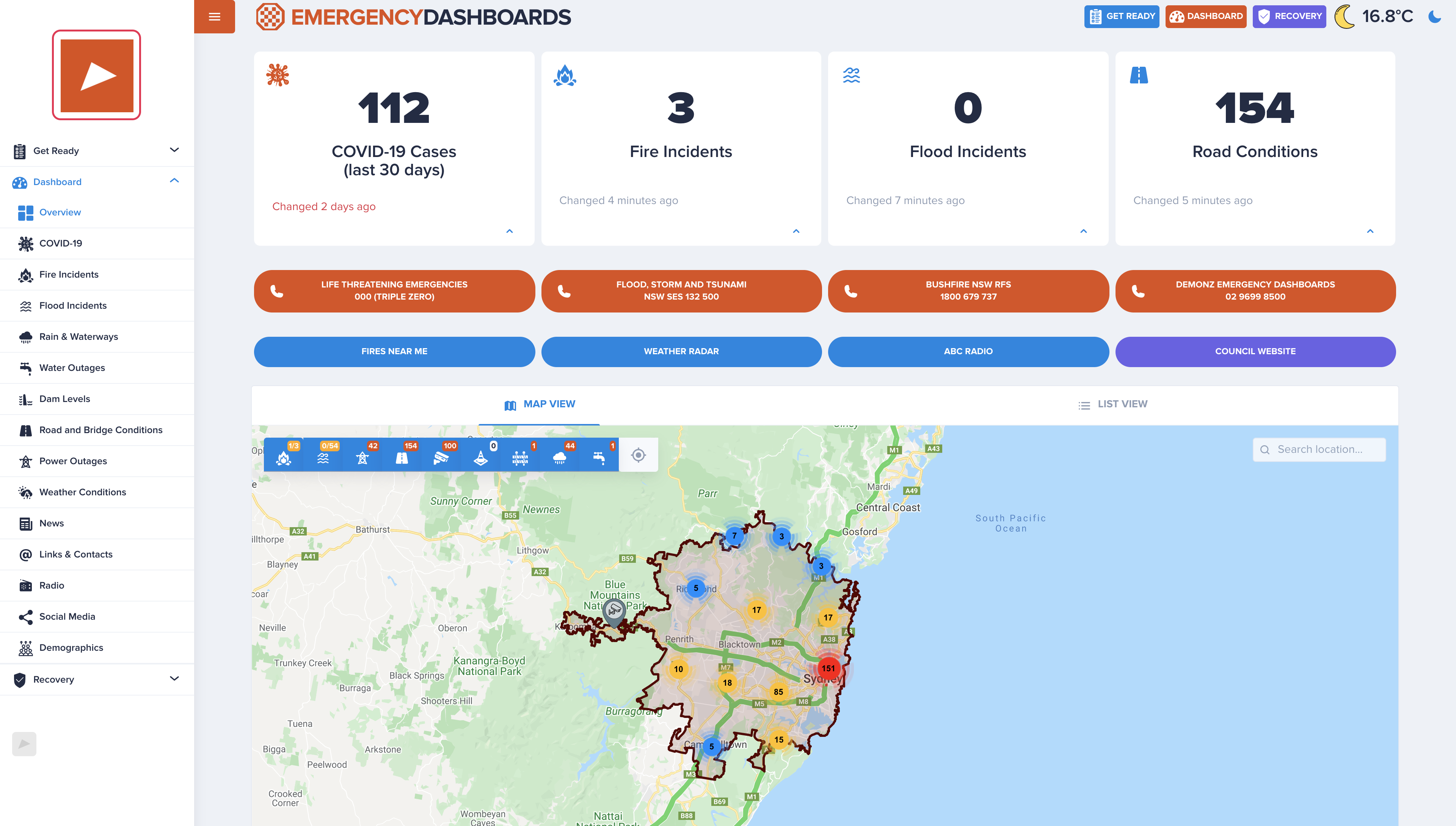
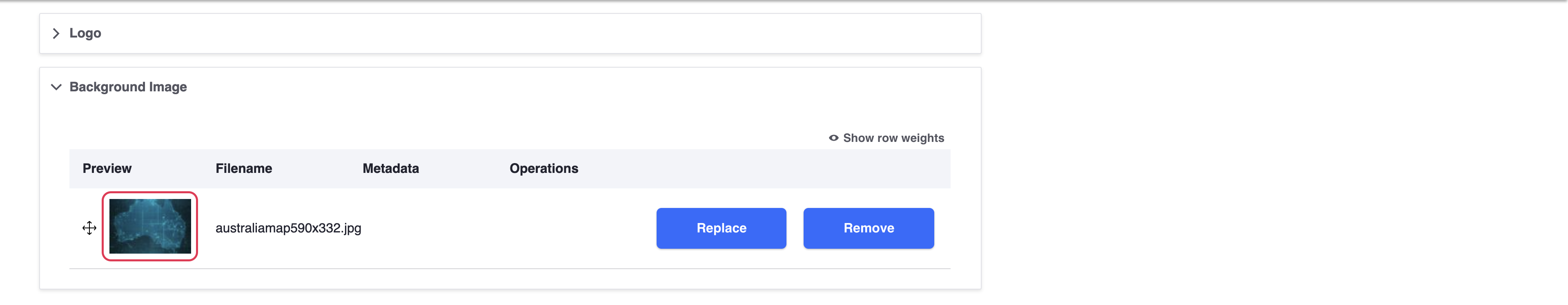
# Background Image
Optional
Use this field to change the blurred background of your dashboard
See the below example of how the logo will appear on the dashboard.
# Guidelines
Does NOT need to be blurred. Blurring will bbe applied automatically.
Must be a
.jpgfor optimal file sizeThe following aspect ratios are recommended: 1:1, 4:3 and 16:9
Make sure that the size of the image is not too small, it is recommended that the dimensions are around 1920px by 1080px
Uploads will be compressed
# Colors
These are you theme colors that are used on links, buttons, icons and other elements.
To make sure that colours look good and have sufficient contrast on light and dark themes, you may set colours specific to a theme.
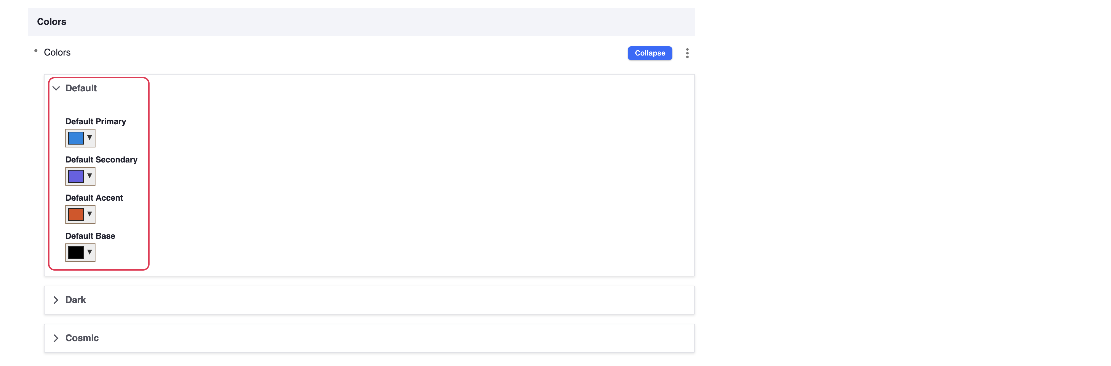
TIP
Make sure to set colors for all themes, even if there are the same for all themes, otherwise default pink, blue and light blue colours will be used.
WARNING
We recommend not to change base colour.
# Font
NOT YET IMPLEMENTED
This feature is still in development and not yet implemented.
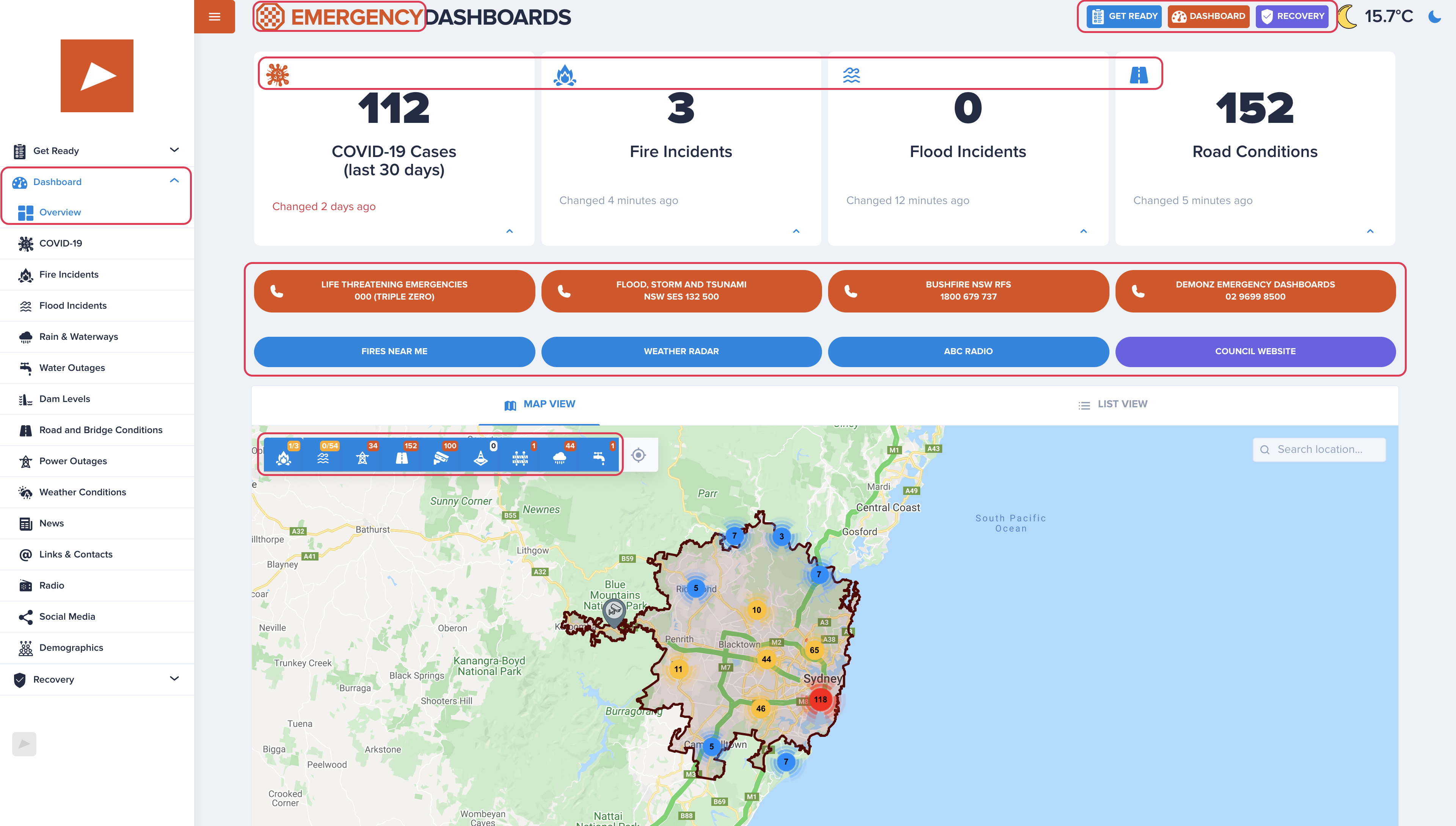
# Power Supplier
This specifies which data feed is used to map power outages.
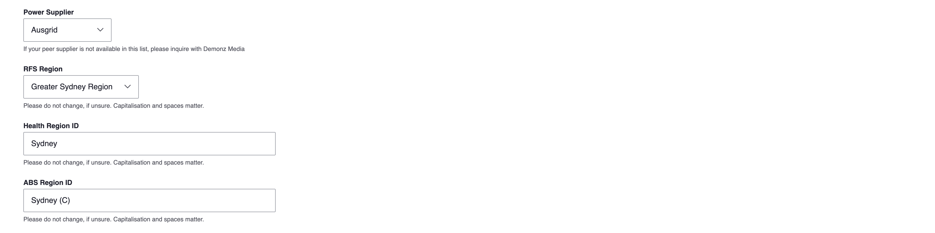
# Available Options
Ausgrid
Essential Energy
Endeavour Energy (NOT YET IMPLEMENTED)
# Disabling
If you wish to disable/hide this data from your dashboard, please scroll down to Active Feeds section.
# RFS Region
Used to display fire bans information. Visit this Official RFS NSW page, opens in a new window (opens new window), scroll down and click there TABLE VIEW to determine the right region for your council.
# Health Region ID
This is the name of the geographical region (LGA 2010 convention name) used to display data from Health NSW such as COVID-19 map.
# Guidelines
- Must match exactly, including capitalisation and spaces.
# ABS Region ID
This is the name of the geographical region (LGA 2010 convention name) used to display data from Australian Bureau of Statistics (ABS) such as demographics charts.
# Guidelines
- Must match exactly, including capitalisation and spaces.
# Default Map Zoom Level
# Guidelines
Determines how much of the LGA is visible in the map by default.
- Value at around 11 is likely to work for most councils
- Values between 1 and 17
- The smaller the zoom level, the farther away (more zoomed out) the map will appear
- Do not change, if unsure

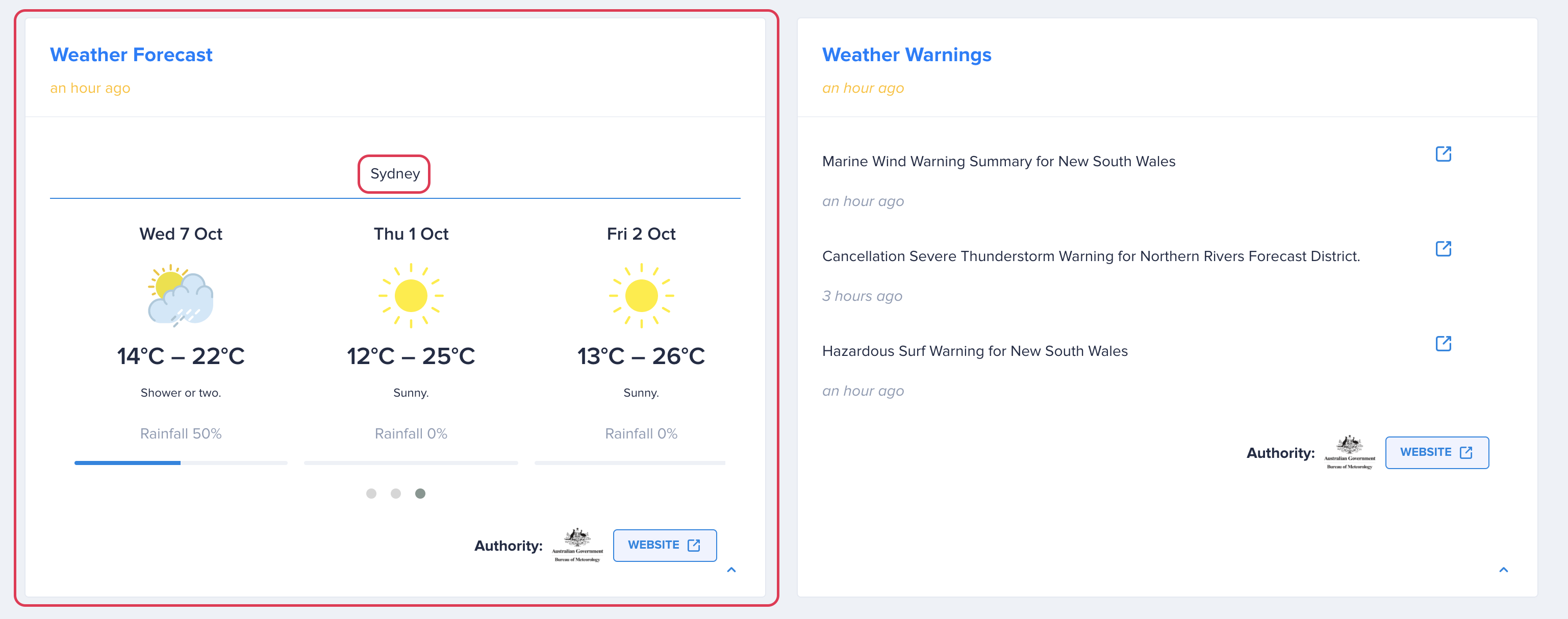
# Weather
Paragraph field to select weather stations used to display current weather and weather forecast widget.
Each weather paragraph consists of:
# Title
Used as a tab name on top of the forecast widget. If left empty, BOM's name for the location will be retrieved.
# BOM ID
BOM station ID. Contact Support support@disasterdashboards.com to help retrieve a correct BOM ID.
# AAC
BOM region code. Contact Support support@disasterdashboards.com to help retrieve a correct AAC.
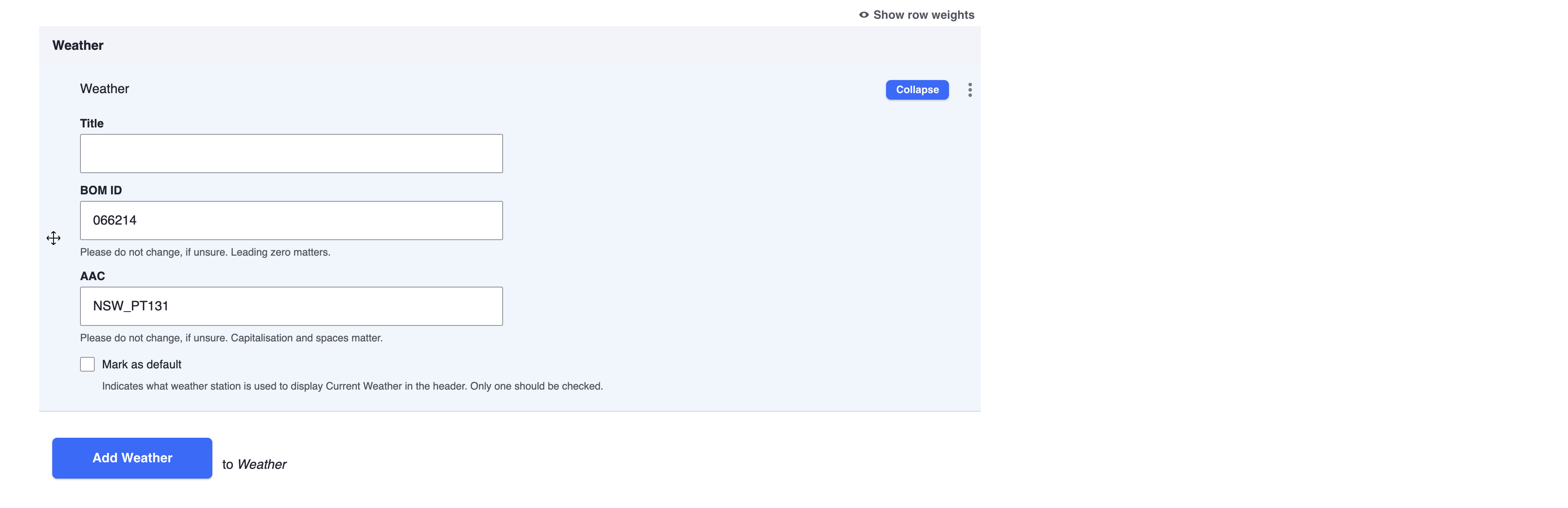
# Make this as default (checkbox)
Identifies which paragraph's values should be used to display current weather at the top right of the dashboard.
Only one should be marked as default. If none are checked as default, the first one will be used for the current weather.

# Boundaries Offset
How far beyond council's boundaries to display incidents on the map.
You may set a specific offset per feed.
Default is 3km for all feeds.
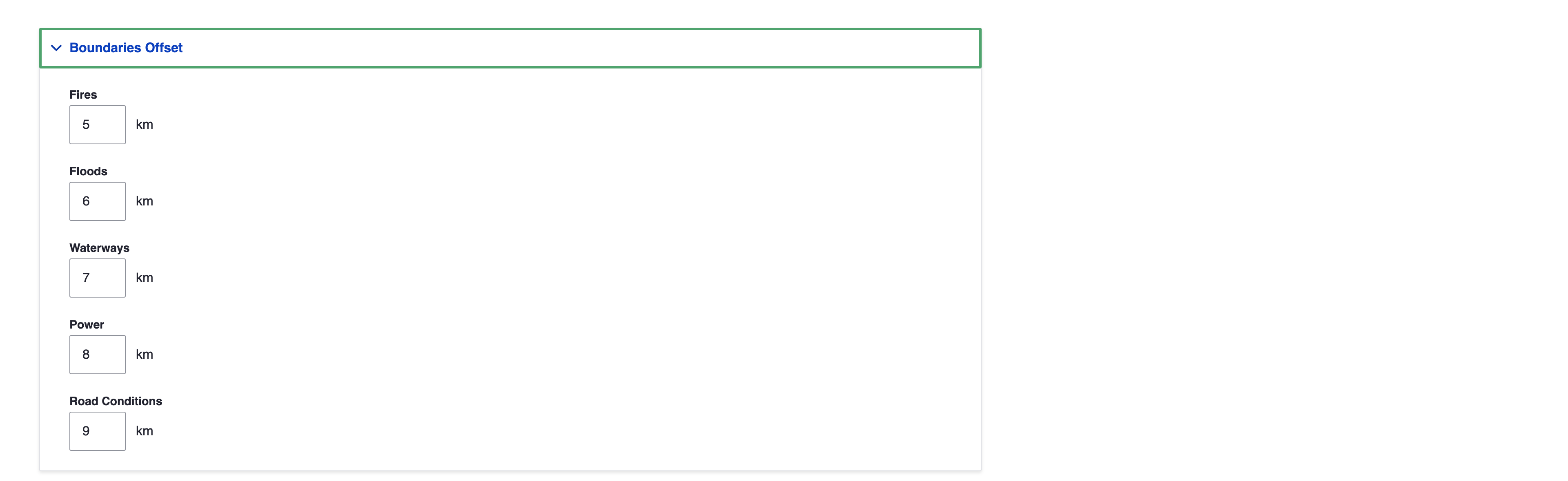
TIP
Council's data such as custom water outages are not geo-fenced.
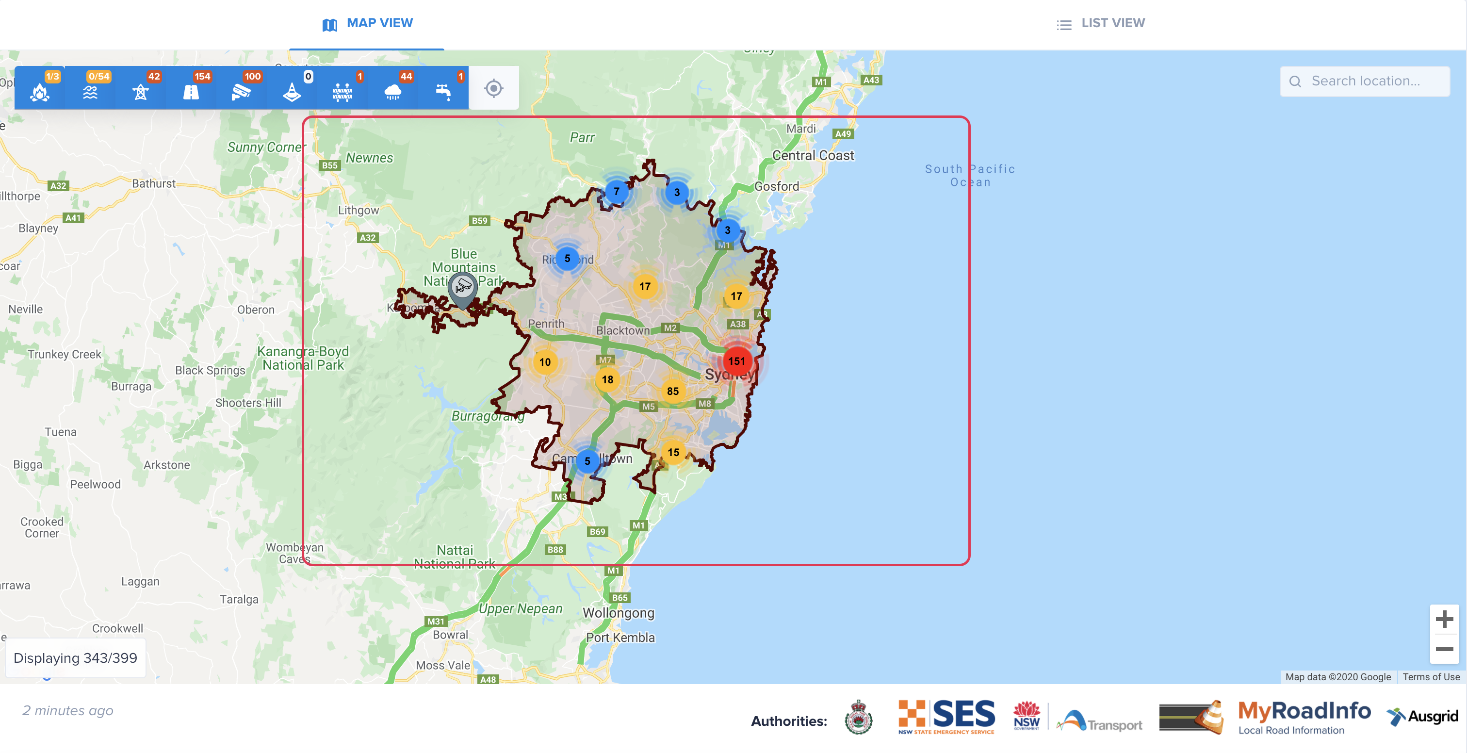
# Active feeds
Determines which layers (feeds) to use on the main overview map. Uncheck to deactivate a particular feed.
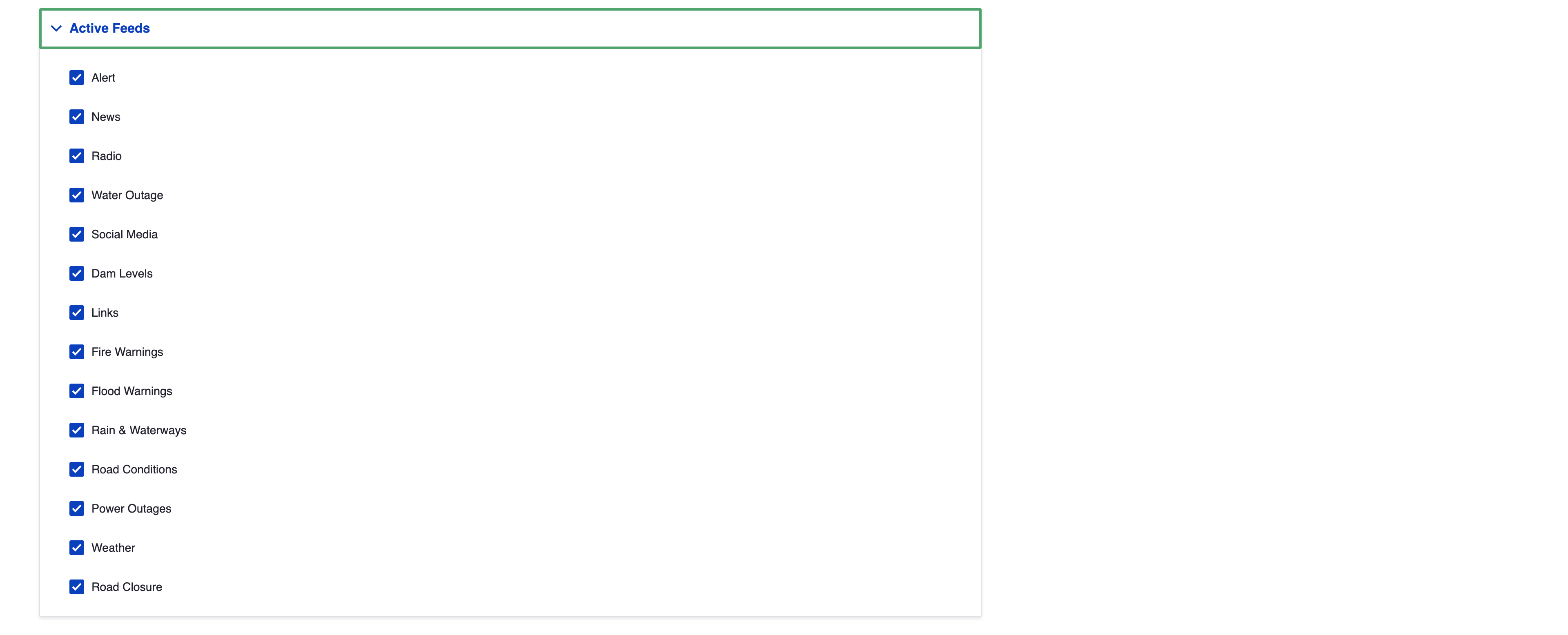
WARNING
Please note, that deactivating a feed in this list will not remove a relevant page (if any) from the menu. To remove the page from the menu please unpublish it as descried in Content > General Information or in Menu > Remove/Unlink sections.
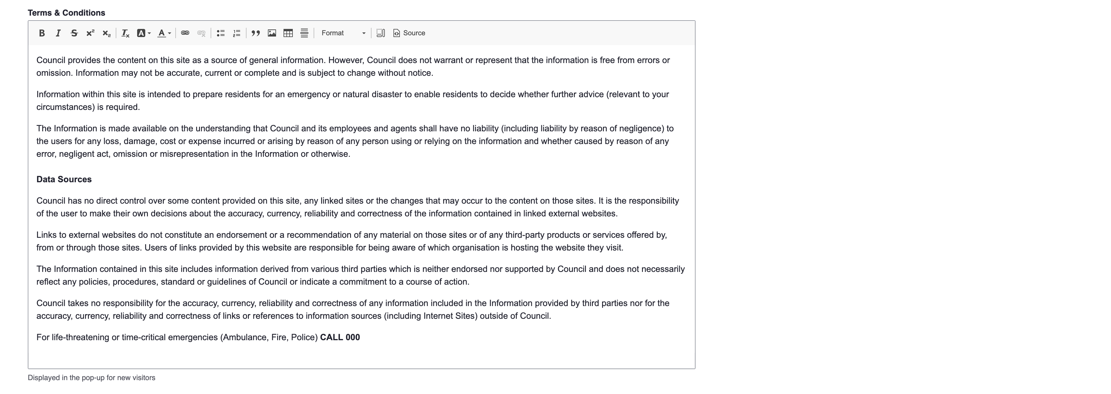
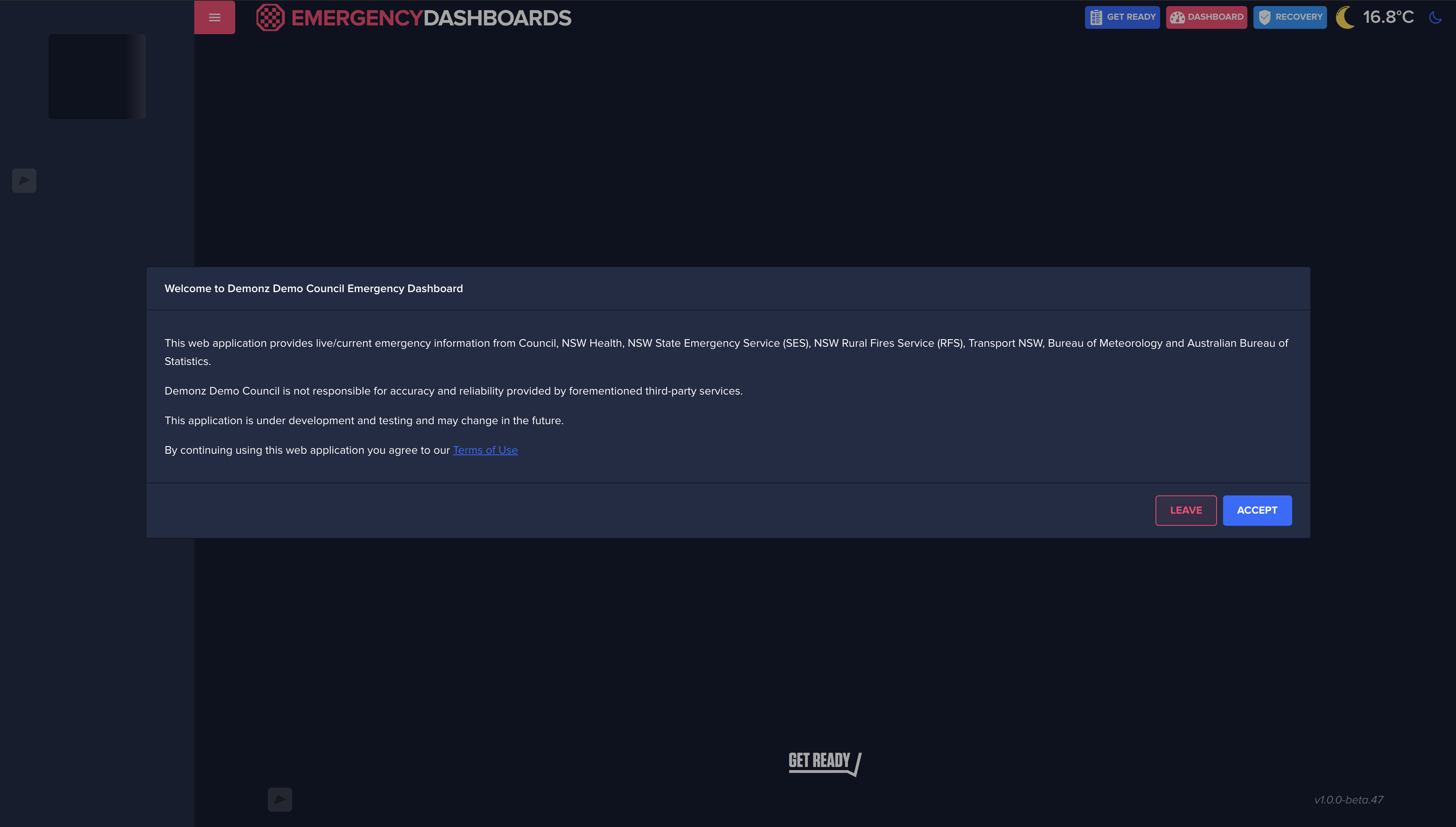
# Terms & Conditions
Displayed in the pop-up for new visitors once they accept generic terms.
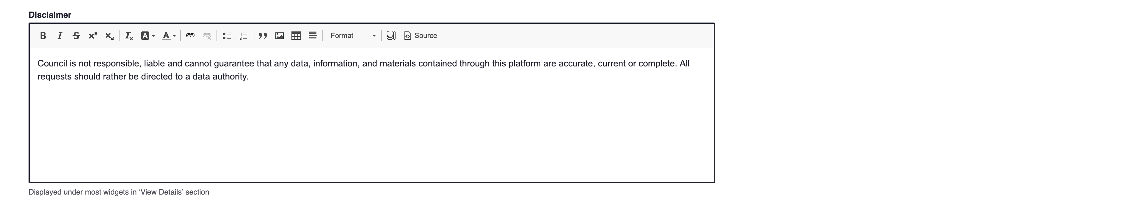
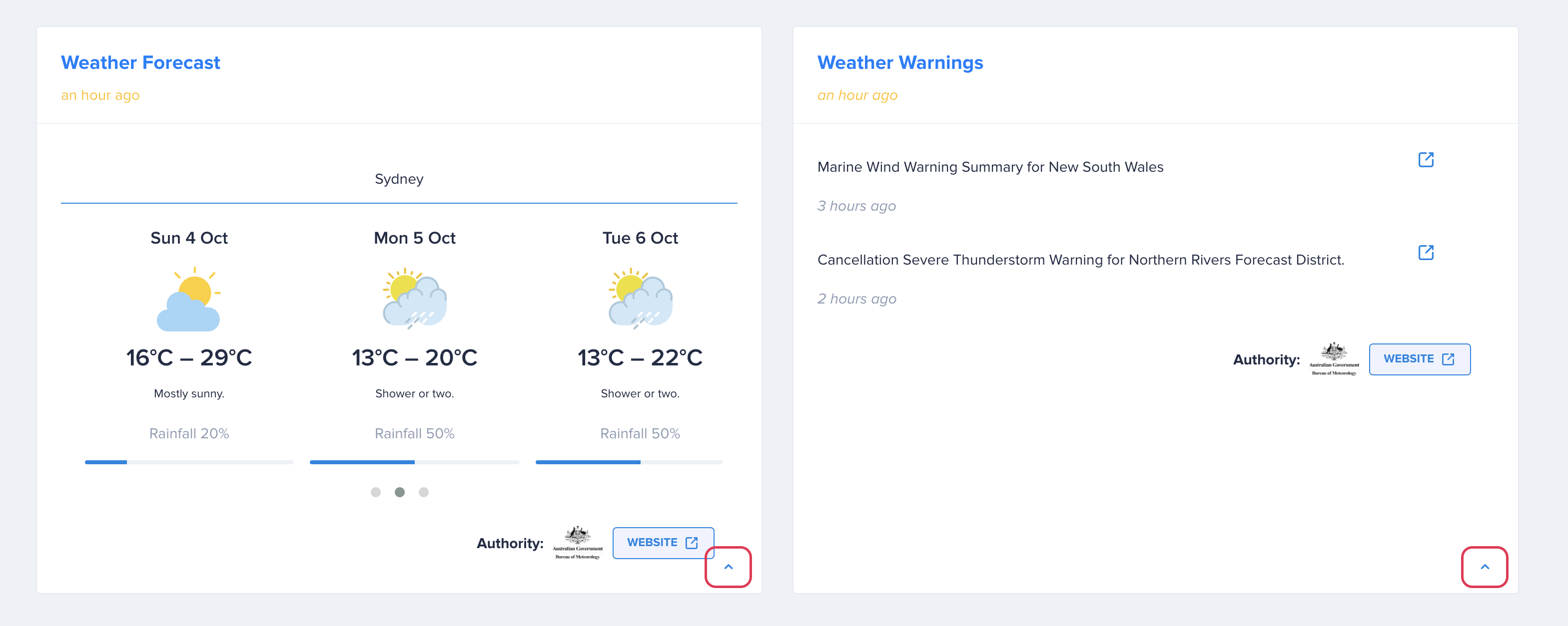
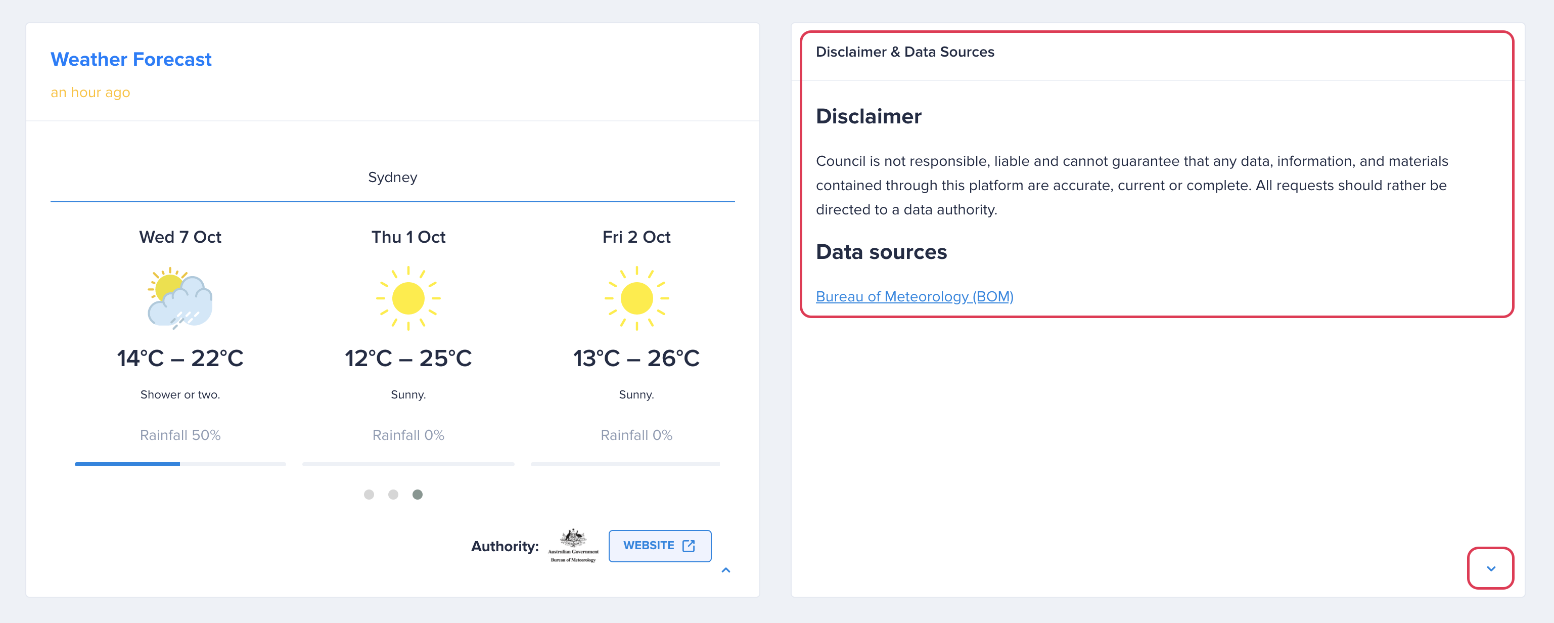
# Disclaimer
Displayed under most widgets in ‘View Details’ section or after clicking the arrow (caret) up sign on some tiles.