# Road Closure
The Road Closure content type allows you to manage any road closure details that showcases the type of closure, location, date/time and more.
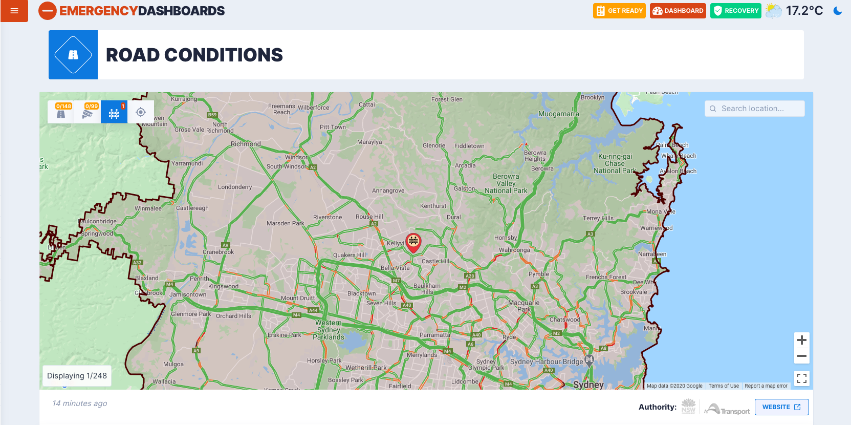
The following image shows an example of how a road closure content type may appear in your dashboard.
# Title
NOTICE
Used internally, not visible to visitors.
Changing not recommended.
This Title field is used for internal reference as a naming convention for the CT. Appears in search in Drupal.
# Google My Maps Map ID
You are also able to import data from your custom Google My Maps map, opens in a new window (opens new window). Your typical full link would look like this: https://www.google.com/maps/d/u/0/viewer?mid=[Map ID]&%3Bll=[Latitude]%2C[Longitude]&%3Bz=[Zoom]&ll=[Latitude]%2C[Longitude]&z=[Zoom]. From such link copy everything that is in place of [Map ID] and paste into the field.
# Notes
Make sure that you are pasting the right ID. It must bbe exactly like in the URL
Do not copy any & or = signs by accident
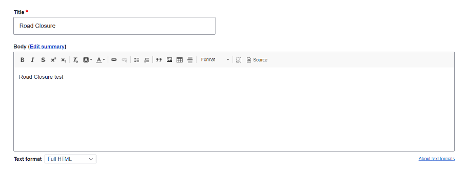
# Body
This is a text-based description field where you can outline and describe the details of the road closure.
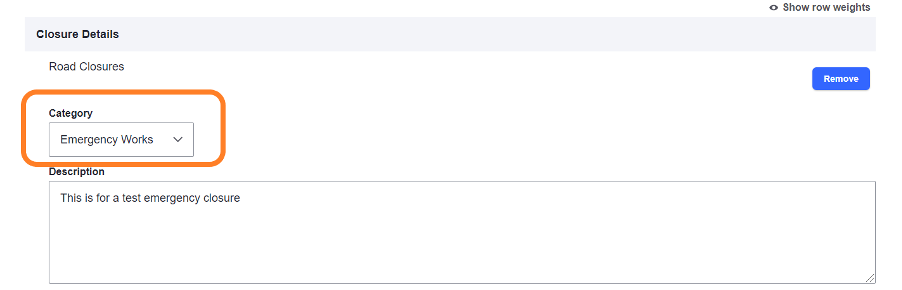
# Category
Under each ‘Closure Details’ section, you can select a category option. The ‘Emergency Works’ category represents any unplanned, emergency road works. While the ‘Planned Maintenance’ category represents any planned maintenance road works.
# Location
The Location field allows you to input a geocode address which displays the location of the road closure in the dashboard. The latitude and longitude fields will automatically appear once the geocode address is inputted.
# Closure Date
This field shows the expected date and time for the road closure to occur. The date can be selected from a calendar drop down option or typed.
# Affected Roads
This is a text-based field where you can list the road/s affected by the closure.